| # | ICAO code


|
Name

|
# of related pictures |
IATA code
|
Country
|
Geolocation
|
Municipality
|
Type
|
Elevation (ft)
|
Longest runway length (m)
|
Passengers [in 2018]*
|
Info (external)
|
Website (external)
|
# of related air shows in DB |
# of related air museums in DB |
# of aeroclubs in DB |
# of related collections |
# of related user comments |


|
|---|---|---|---|---|---|---|---|---|---|---|---|---|---|---|---|---|---|---|---|
| 2176 | KMPO | Pocono Mountains Municipal Airport | MPO |  United States |
 N410816 W0752248 |
Mount Pocono | Airport | 1 915 |  |
|
1 |


|
|||||||
| 2177 | KMPV | Edward F. Knapp State Airport | 1 |
MPV |
United States |
N441213 W0723344 |
Barre/Montpelier | Airport | 1 165 | 1 525 | |
|
1 |
|
|||||
| 2178 | KMQI | Dare County Regional Airport | MEO |
United States |
N355508 W0754144 |
Manteo | Airport | 14 | 1 311 | |
|
|
|||||||
| 2179 | KMQJ | Indianapolis Regional Airport |
United States |
N395037 W0855349 |
Indianapolis | Airport | 862 | |
|
2 |
|
||||||||
| 2180 | KMQS | Chester County G. O. Carlson Airport | CTH |
United States |
N395844 W0755156 |
Coatesville | Airport | 660 | 1 646 | |
|
|
|||||||
| 2181 | KMRB | Eastern WV Regional Airport | 1 |
MRB |
United States |
N392407 W0775905 |
Martinsburg | Airport | 565 | 2 687 | |
|
|
||||||
| 2182 | KMRC | Maury County Airport | MRC |
United States |
N353316 W0871045 |
Columbia/Mount Pleasant | Airport | 681 | 1 829 | |
|
1 |
|
||||||
| 2183 | KMSL | Northwest Alabama Regional Airport | 1 |
MSL |
United States |
N344443 W0873637 |
Muscle Shoals | Airport | 551 | |
|
|
|||||||
| 2184 | KMSN | Dane County Regional Airport | 1 |
MSN |
United States |
N430823 W0892015 |
Madison | Airport | 887 | 2 745 | 1 806 310 | |
|
4 |
|
||||
| 2185 | KMSO | Missoula International Airport | 1 |
MSO |
United States |
N465459 W1140528 |
Missoula | Airport | 3 206 | 2 896 | 596 506 | |
|
1 |
|
||||
| 2186 | KMSP | Minneapolis-Saint Paul International Airport | 1 |
MSP |
United States |
N445255 W0931318 |
Minneapolis | Large airport | 841 | 3 355 | 38 034 341 | |
|
|
|||||
| 2187 | KMSY | Louis Armstrong New Orleans International Airport | 1 |
MSY |
United States |
N295936 W0901529 |
New Orleans | Large airport | 4 | 3 080 | 11 993 833 | |
|
|
|||||
| 2188 | KMTC | Selfridge Angb | 1 |
MTC |
United States |
N423630 W0825008 |
Mount Clemens | Airport | 580 | 2 743 | |
|
1 |
|
|||||
| 2189 | KMTJ | Montrose Regional Airport | MTJ |
United States |
N383035 W1075338 |
Montrose | Airport | 5 759 | 3 048 | 232 544 | |
|
1 |
|
|||||
| 2190 | KMTN | Martin State Airport | 1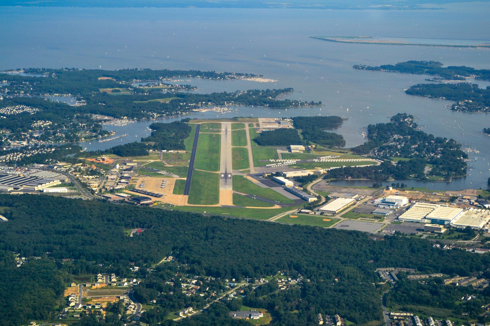 |
MTN |
United States |
N391932 W0762450 |
Baltimore | Airport | 21 | 2 132 | |
|
1 | 3 |
|
||||
| 2191 | KMTO | Coles County Memorial Airport | MTO |
United States |
N392841 W0881645 |
Mattoon/Charleston | Airport | 722 | |
|
|
||||||||
| 2192 | KMTV | Blue Ridge Airport |
United States |
N363751 W0800106 |
Martinsville | Airport | 941 | 1 525 | |
|
|
||||||||
| 2193 | KMUI | Muir Army Airfield | MUI |
United States |
N402605 W0763409 |
Fort Indiantown Gap(Annville) | Airport | 488 | 1 209 | |
|
|
|||||||
| 2194 | KMUO | Mountain Home AFB | 1 |
MUO |
United States |
N430237 W1155221 |
Mountain Home | Large airport | 2 996 | 4 115 | |
|
|
||||||
| 2195 | KMVL | Morrisville-Stowe State Airport | MVL |
United States |
N443205 W0723650 |
Morrisville | Airport | 732 | 1 128 | |
|
|
|||||||
| 2196 | KMVY | Martha's Vineyard Airport | MVY |
United States |
N412335 W0703652 |
Martha's Vineyard | Airport | 67 | 1 678 | 108 168 | |
|
|
||||||
| 2197 | KMWA | Williamson County Regional Airport | MWA |
United States |
N374518 W0890040 |
Marion | Airport | 472 | 2 439 | 20 088 | |
|
|
||||||
| 2198 | KMWH | Grant County International Airport | 1 |
MWH |
United States |
N471231 W1191908 |
Moses Lake | Airport | 1 189 | |
|
|
|||||||
| 2199 | KMWO | Middletown Regional Airport | 1 |
MWO |
United States |
N393154 W0842347 |
Middletown | Airport | 650 | 1 859 | |
|
1 |
|
|||||
| 2200 | KMXF | Maxwell AFB | MXF |
United States |
N322245 W0862145 |
Montgomery | Airport | 172 | 2 442 | |
|
1 |
|
||||||
| 12 | 52 791 790 | 1 | 2 | 15 | 0 | 0 | |||||||||||||
| # | ICAO code
|
Name
|
# of related pictures |
IATA code
|
Country
|
Geolocation
|
Municipality
|
Type
|
Elevation (ft)
|
Longest runway length (m)
|
Passengers [in 2018]*
|
Info (external)
|
Website (external)
|
# of related air shows in DB |
# of related air museums in DB |
# of aeroclubs in DB |
# of related collections |
# of related user comments |
|