Pictures
| # |
ID


|
Uploaded by
|
Uploaded on

|
Picture
|
Description
|
Related item(s)
|


|
| 5551 |
6633 |
 bali |
2018-05-25 21:49:21 |
 |
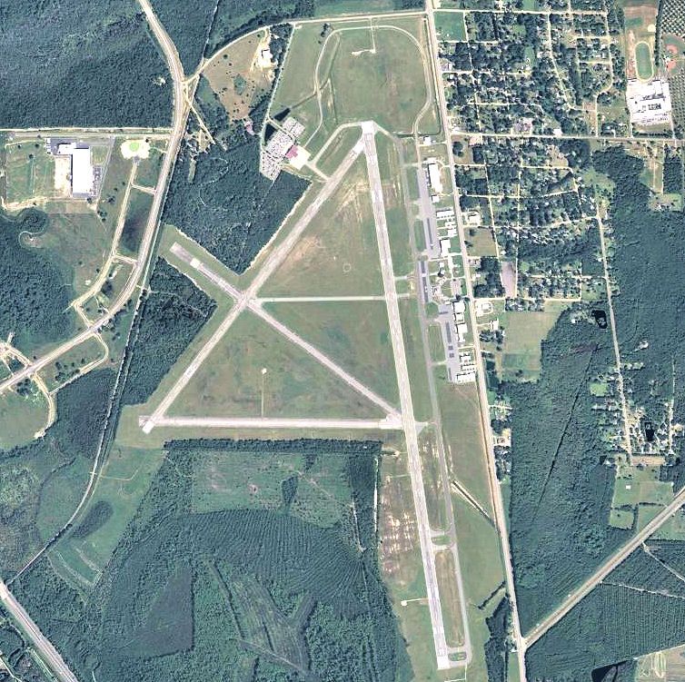
By United States Air Force - http://www.robins.af.mil/photos/mediagallery.asp?galleryID=7369&?id=-1&page=1&count=48, Public Domain, https://commons.wikimedia.org/w/index.php?curid=15889180 |
Airport Robins AFB (KWRB) |
|
| 5552 |
6632 |
bali |
2018-05-25 21:49:10 |
 |
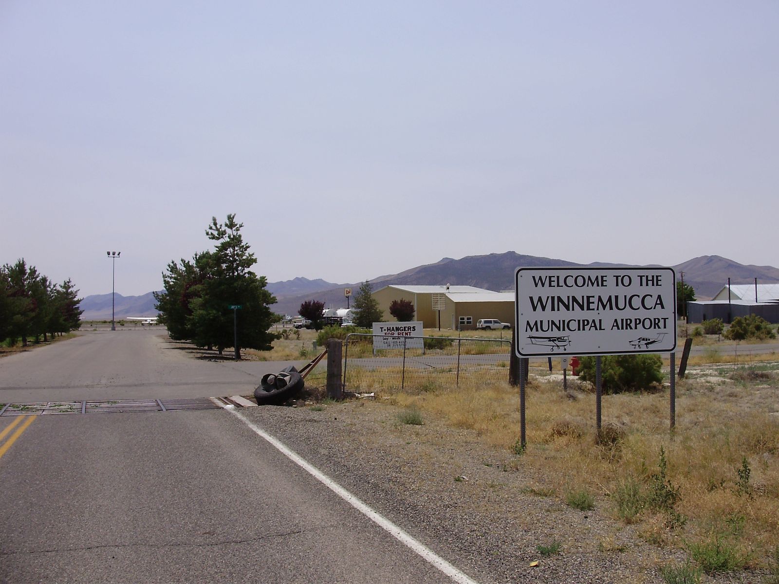
By Famartin - Own work, CC BY-SA 3.0, https://commons.wikimedia.org/w/index.php?curid=28988710 |
Airport Winnemucca Municipal Airport (KWMC) |
|
| 5553 |
6631 |
bali |
2018-05-25 21:49:01 |
 |
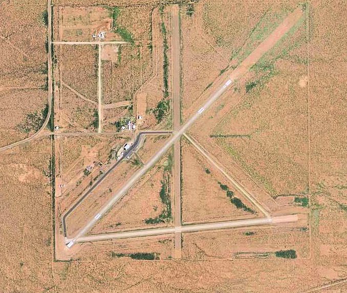
By United States Geological Survey (USGS) - USGS via TopoQuesthttp://www.topoquest.com/map.php?lat=39.516389&lon=-122.2175&datum=nad83&zoom=4&map=sat1m, Public Domain, https://commons.wikimedia.org/w/index.php?curid=19860232 |
Airport Willows-Glenn County Airport (KWLW) |
|
| 5554 |
6630 |
bali |
2018-05-25 21:48:49 |
 |
By United States Geological Survey (USGS) - USGS via GPS Visualizer websitehttp://www.gpsvisualizer.com/map_input?special=wikipedia&format=google&bg_map=usgs_aerial&sp_width=50km&form:data=type,name,latitude,longitude%0DW,%22Strother%20Field%22,37.1 |
Airport Strother Field (KWLD) |
|
| 5555 |
6629 |
bali |
2018-05-25 21:48:36 |
 |
By Ikluft - Own work, GFDL, https://commons.wikimedia.org/w/index.php?curid=3639067 |
Airport General William J. Fox Airfield (KWJF) |
|
| 5556 |
6628 |
bali |
2018-05-25 21:48:27 |
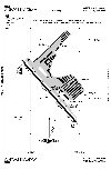 |
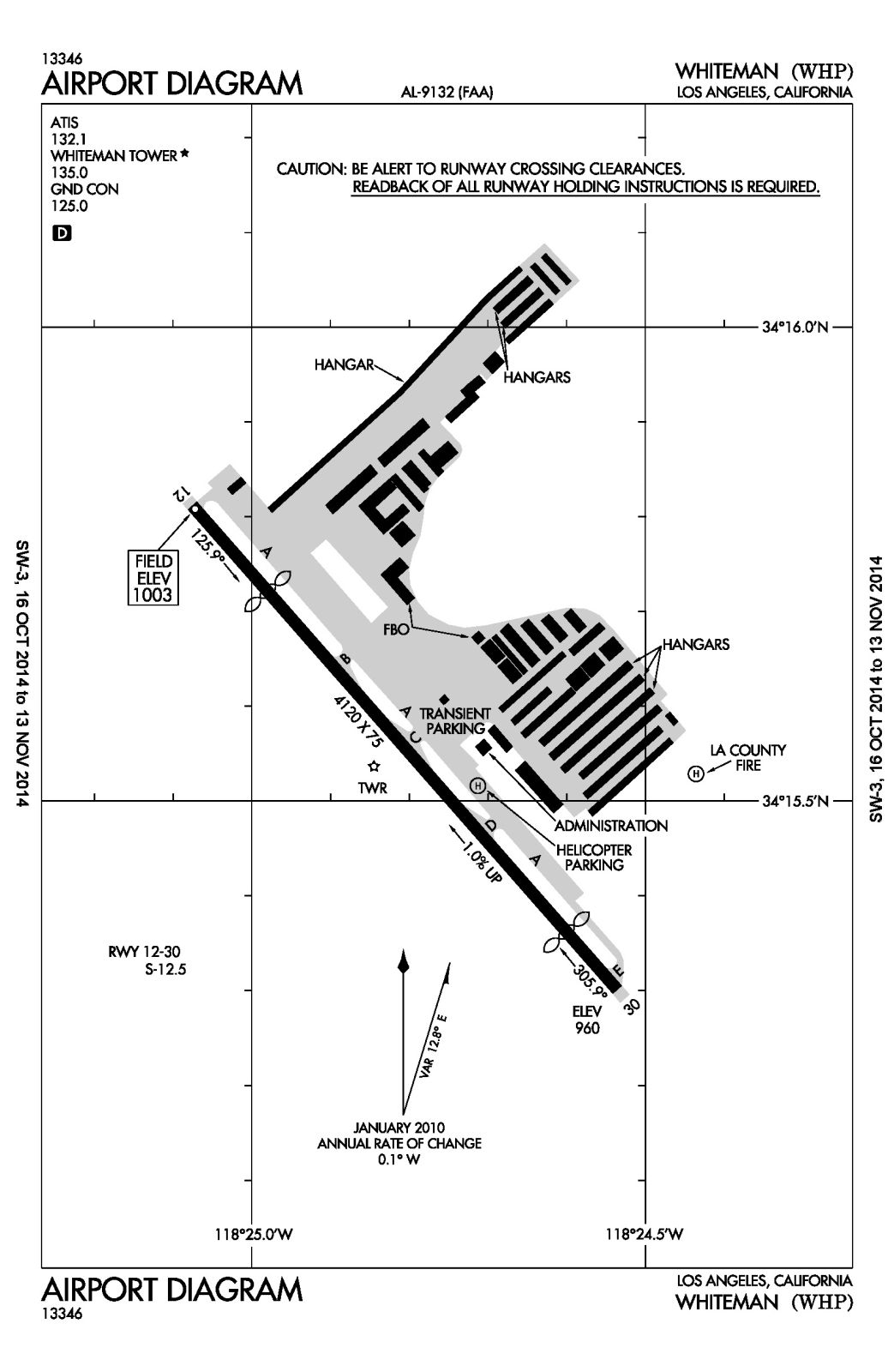
By Federal Aviation Administration - FAA website, Public Domain, https://commons.wikimedia.org/w/index.php?curid=36589393 |
Airport Whiteman Airport (KWHP) |
|
| 5557 |
6627 |
bali |
2018-05-25 21:48:18 |
 |
By Chssam - Own work by the original uploader, Public Domain, https://commons.wikimedia.org/w/index.php?curid=29676263 |
Airport Barrow County Airport (KWDR) |
|
| 5558 |
6626 |
bali |
2018-05-25 21:48:09 |
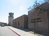 |
By Kiddo27 - Own work, Public Domain, https://commons.wikimedia.org/w/index.php?curid=8902756 |
Airport Enid Woodring Regional Airport (KWDG) |
|
| 5559 |
6625 |
bali |
2018-05-25 21:48:01 |
 |
By Pub. by R. Ramsay Mebane, Wilkes-Barre, PA. - Boston Public Library Tichnor Brothers collection #63541, Public Domain, https://commons.wikimedia.org/w/index.php?curid=46892432 |
Airport Wilkes-Barre Wyoming Valley Airport (KWBW) |
|
| 5560 |
6624 |
bali |
2018-05-25 21:47:50 |
 |
By United States Geological Survey (USGS) - USGS via TopoQuesthttp://www.topoquest.com/map.php?lat=39.959167&lon=-79.657222&datum=nad83&zoom=4&map=sat1m, Public Domain, https://commons.wikimedia.org/w/index.php?curid=19571712 |
Airport Joseph A. Hardy Connellsville Airport (KVVS) |
|
| 5561 |
6623 |
bali |
2018-05-25 21:47:37 |
 |
By John Kloepper, CC BY-SA 3.0, https://commons.wikimedia.org/w/index.php?curid=16086402 |
Airport Pearson Field (KVUO) |
|
| 5562 |
6622 |
bali |
2018-05-25 21:47:29 |
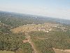 |
By No machine-readable author provided. Jonmkj assumed (based on copyright claims). - No machine-readable source provided. Own work assumed (based on copyright claims)., Public Domain, https://commons.wikimedia.org/w/index.php?curid=11965977 |
Airport Stanly County Airport (KVUJ) |
|
| 5563 |
6621 |
bali |
2018-05-25 21:47:17 |
 |
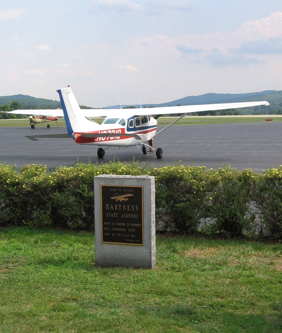
By Ynsalh - Own work, CC BY-SA 4.0, https://commons.wikimedia.org/w/index.php?curid=38061636 |
Airport Hartness State Airport (KVSF) |
|
| 5564 |
6620 |
bali |
2018-05-25 21:47:08 |
 |
By Thomson200 - Own work, CC0, https://commons.wikimedia.org/w/index.php?curid=49852013 |
Airport Cartersville Airport (KVPC) |
|
| 5565 |
6619 |
bali |
2018-05-25 21:47:00 |
 |
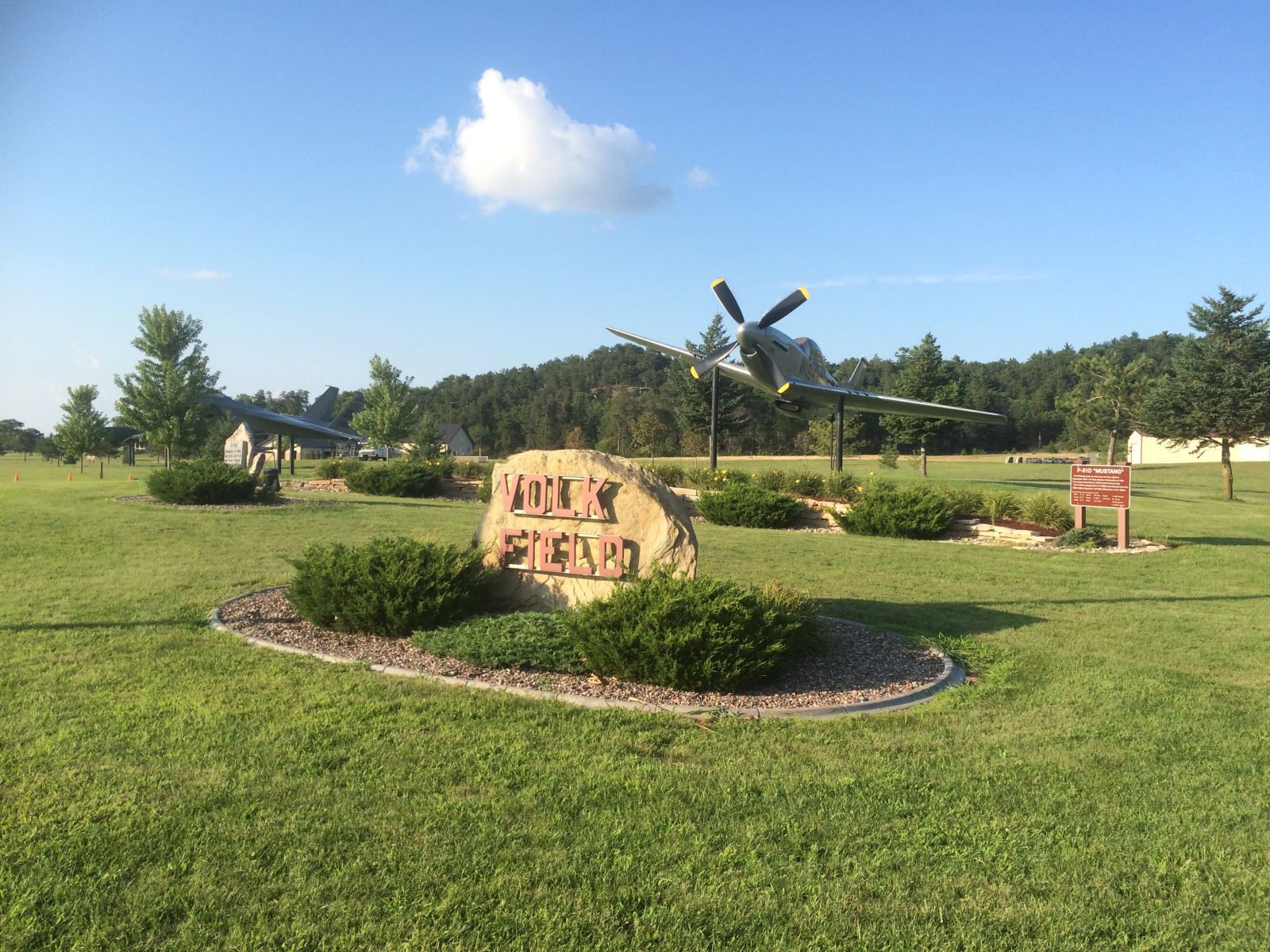
By FLJuJitsu - Own work, CC BY-SA 4.0, https://commons.wikimedia.org/w/index.php?curid=50476488 |
Airport Volk Field Air National Guard Base (KVOK) |
|
| 5566 |
6618 |
bali |
2018-05-25 21:46:51 |
 |
By United States Geological Survey (USGS) - USGS The National Map, via MSR Maps (formerly TerraServer-USA)http://msrmaps.com/map.aspx?t=1&s=12&lon=-82.440278&lat=27.071667&w=800&h=800, Public Domain, https://commons.wikimedia.org/w/index.php?curid=3 |
Airport Venice Municipal Airport (KVNC) |
|
| 5567 |
6617 |
bali |
2018-05-25 21:46:39 |
 |
By US Geological Survey - http://www.topoquest.com/map.php?lat=30.78139&lon=-83.27611&datum=nad83&zoom=4&map=sat1m&coord=d&mode=zoomin&size=l, Public Domain, https://commons.wikimedia.org/w/index.php?curid=20290811 |
Airport Valdosta Regional Airport (KVLD) |
|
| 5568 |
6616 |
bali |
2018-05-25 21:46:27 |
 |
By United States Geological Survey - USGS via TopoQuest, Public Domain, https://commons.wikimedia.org/w/index.php?curid=19525279 |
Airport Visalia Municipal Airport (KVIS) |
|
| 5569 |
6615 |
bali |
2018-05-25 21:46:17 |
 |
By US Geological Survey - http://www.topoquest.com/map.php?lat=38.128333&lon=-91.768056&datum=nad83&zoom=4&map=sat1m, Public Domain, https://commons.wikimedia.org/w/index.php?curid=20409795 |
Airport Rolla National Airport (KVIH) |
|
| 5570 |
6614 |
bali |
2018-05-25 21:46:07 |
 |
By United States Geological Survey (USGS) - USGS via TopoQuesthttp://www.topoquest.com/map.php?lat=31.05778&lon=-104.78389&datum=nad83&zoom=4&map=sat1m&coord=d&mode=zoomin&size=l, Public Domain, https://commons.wikimedia.org/w/index.php?curid=195505 |
Airport Culberson County Airport (KVHN) |
|
| 5571 |
6613 |
bali |
2018-05-25 21:45:54 |
 |
By United States Geological Survey (USGS) - USGS The National Map, via MSR Maps (formerly TerraServer-USA)http://msrmaps.com/map.aspx?t=1&s=11&lat=40.4381&lon=-109.5092&w=850&h=1200, Public Domain, https://commons.wikimedia.org/w/index.php?curid=700 |
Airport Vernal Regional Airport (KVEL) |
|
| 5572 |
6612 |
bali |
2018-05-25 21:45:40 |
 |
Public Domain, https://commons.wikimedia.org/w/index.php?curid=3722077 |
Airport Victoria Regional Airport (KVCT) |
|
| 5573 |
6611 |
bali |
2018-05-25 21:45:33 |
 |
By Bill Larkins - YAK 9U N4425S, CC BY-SA 2.0, https://commons.wikimedia.org/w/index.php?curid=29356789 |
Airport Nut Tree Airport (KVCB) |
|
| 5574 |
6610 |
bali |
2018-05-25 21:45:24 |
 |
By Civil Air Patrol - Arkansas Department of Aeronautics, Public Domain, https://commons.wikimedia.org/w/index.php?curid=30825717 |
Airport Bentonville Municipal Airport (KVBT) |
|
| 5575 |
6609 |
bali |
2018-05-25 21:45:15 |
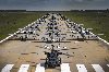 |
By Staff Sergeant Ryan Callaghan, U.S. Air Force - https://www.dvidshub.net/image/3414063/, Public Domain, https://commons.wikimedia.org/w/index.php?curid=59370684 |
Airport Moody Air Force Base (KVAD) |
|
|
|
|
|
|
|
|
|
| # |
ID
|
Uploaded by
|
Uploaded on
|
Picture
|
Description
|
Related item(s)
|
|