Pictures
| # |
ID


|
Uploaded by
|
Uploaded on

|
Picture
|
Description
|
Related item(s)
|


|
| 5601 |
6583 |
 bali |
2018-05-25 21:40:27 |
 |
By Eric Salard - THV YORK AIRPORT PA F-GSPC FLIGHT CDG-IAD, CC BY-SA 2.0, https://commons.wikimedia.org/w/index.php?curid=29388717 |
Airport York Airport (Pennsylvania) (KTHV) |
|
| 5602 |
6582 |
bali |
2018-05-25 21:40:16 |
 |
By User:AlbertHerring - Image taken by me for Wikipedia, CC BY 3.0, https://commons.wikimedia.org/w/index.php?curid=14519128 |
Airport Tangier Island Airport (KTGI) |
|
| 5603 |
6581 |
bali |
2018-05-25 21:40:06 |
 |
By United States Geological Survey (USGS) - USGS via TopoQuesthttp://www.topoquest.com/map.php?lat=37.68744&lon=-121.44047&datum=nad83&zoom=4&map=sat1m&coord=d&mode=pan&size=m, Public Domain, https://commons.wikimedia.org/w/index.php?curid=19893308 |
Airport Tracy Municipal Airport (California) (KTCY) |
|
| 5604 |
6580 |
bali |
2018-05-25 21:39:54 |
 |
By United States Geological Survey (USGS) - USGS The National Map via MSR Maps (formerly TerraServer-USA), Public Domain, https://commons.wikimedia.org/w/index.php?curid=1527140 |
Airport McChord Field (KTCM) |
|
| 5605 |
6579 |
bali |
2018-05-25 21:39:43 |
 |
By United States Department of Agriculture (USDA), Farm Services Agency - National Agriculture Imagery Program (NAIP) Orthoimagery for Zone 16 Alabama State Quarter Quadrangle TUSCALOOSA, NW and I.D. # n_3308752_nw_16_1_20060620.tif, Public Domain, |
Airport Tuscaloosa Regional Airport (KTCL) |
|
| 5606 |
6578 |
bali |
2018-05-25 21:39:30 |
 |
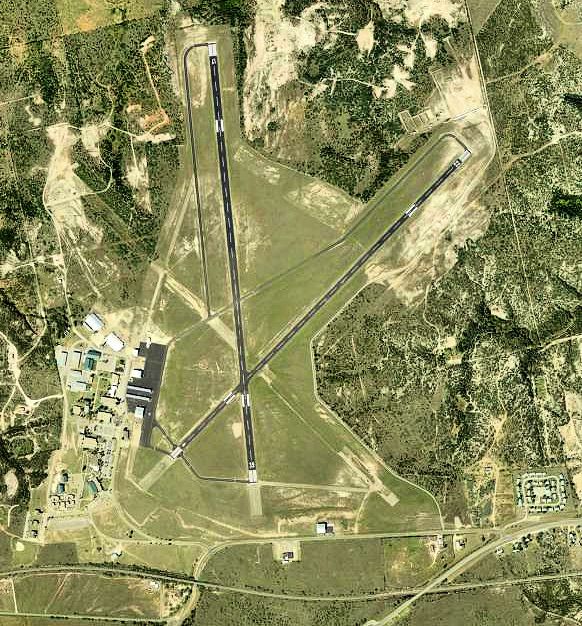
By United States Geological Survey (USGS) - USGS The National Map, via MSR Maps (formerly TerraServer-USA)http://msrmaps.com/map.aspx?t=1&s=12&lon=-103.603056&lat=35.182778&w=600&h=800, Public Domain, https://commons.wikimedia.org/w/index.php?curid= |
Airport Tucumcari Municipal Airport (KTCC) |
|
| 5607 |
6577 |
bali |
2018-05-25 21:39:17 |
 |
By United States Geological Survey (USGS) - USGS via TopoQuesthttp://www.topoquest.com/map.php?lat=32.48278&lon=-81.73694&datum=nad83&zoom=4&map=sat1m&coord=d&mode=zoomin&size=l, Public Domain, https://commons.wikimedia.org/w/index.php?curid=2024632 |
Airport Statesboro-Bulloch County Airport (KTBR) |
|
| 5608 |
6576 |
bali |
2018-05-25 21:39:04 |
 |
By United States Geological Survey (USGS) - USGS via TopoQuesthttp://www.topoquest.com/map.php?lat=37.74167&lon=-92.14083&datum=nad83&zoom=4&map=sat1m&coord=d&mode=zoomin&size=l, Public Domain, https://commons.wikimedia.org/w/index.php?curid=1966367 |
Airport Waynesville-St. Robert Regional Airport (KTBN) |
|
| 5609 |
6575 |
bali |
2018-05-25 21:38:51 |
 |
Public Domain, https://commons.wikimedia.org/w/index.php?curid=1029097 |
Airport Whiteman AFB (KSZL) |
|
| 5610 |
6574 |
bali |
2018-05-25 21:38:43 |
 |
By Jonathunder - Own work, GFDL 1.2, https://commons.wikimedia.org/w/index.php?curid=18365208 |
Airport Stanton Airfield (KSYN) |
|
| 5611 |
6573 |
bali |
2018-05-25 21:38:35 |
 |
By United States Geological Survey (USGS) - USGS via TopoQuesthttp://www.topoquest.com/map.php?lat=32.46397&lon=-100.46802&datum=nad83&zoom=4&map=sat1m&coord=d&mode=pan&size=l, Public Domain, https://commons.wikimedia.org/w/index.php?curid=19546198 |
Airport Avenger Field (KSWW) |
|
| 5612 |
6572 |
bali |
2018-05-25 21:38:22 |
 |
By Fkbowen - Own work, CC BY-SA 4.0, https://commons.wikimedia.org/w/index.php?curid=49375175 |
Airport Sherman Municipal Airport (KSWI) |
|
| 5613 |
6571 |
bali |
2018-05-25 21:38:14 |
 |
By United States Geological Survey (USGS) - USGS via TopoQuesthttp://www.topoquest.com/map.php?lat=32.01000&lon=-81.14433&datum=nad83&zoom=8&map=sat1m&coord=d&mode=zoomout&size=l, Public Domain, https://commons.wikimedia.org/w/index.php?curid=202468 |
Airport Hunter Army Airfield (KSVN) |
|
| 5614 |
6570 |
bali |
2018-05-25 21:38:01 |
 |
By Civil Air Patrol - Arkansas Department of Aeronautics, Public Domain, https://commons.wikimedia.org/w/index.php?curid=30825662 |
Airport Saline County Regional Airport (KSUZ) |
|
| 5615 |
6569 |
bali |
2018-05-25 21:37:52 |
 |
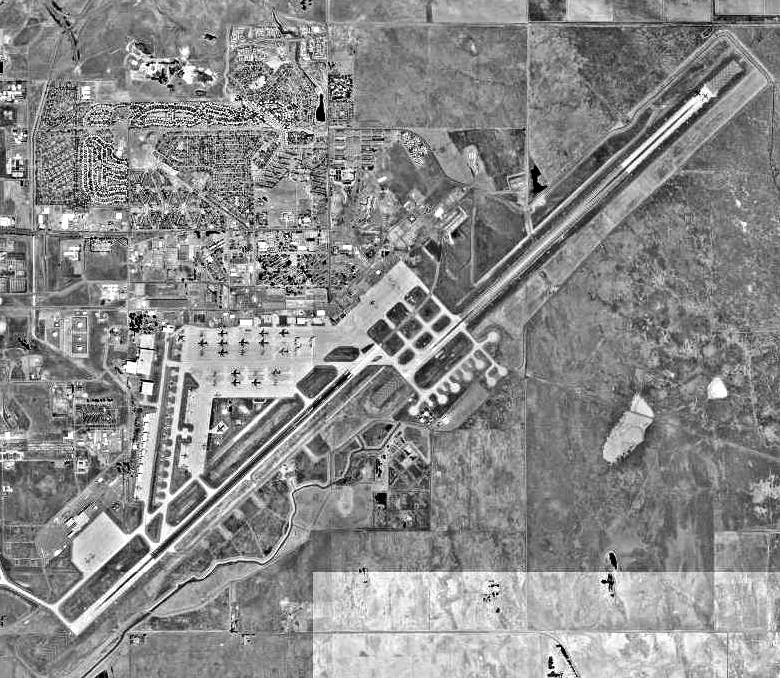
By USGS - USGS via Terraserver, Public Domain, https://commons.wikimedia.org/w/index.php?curid=3784486 |
Airport Travis AFB (KSUU) |
|
| 5616 |
6568 |
bali |
2018-05-25 21:37:43 |
 |
By Lucas Crouch Luke119 (talk) - Lucas Crouch Luke119, CC BY-SA 3.0, https://commons.wikimedia.org/w/index.php?curid=32558496 |
Airport Door County Cherryland Airport (KSUE) |
|
| 5617 |
6567 |
bali |
2018-05-25 21:37:34 |
 |
By United States Geological Survey (USGS) - USGS via TopoQuesthttp://www.topoquest.com/map.php?lat=38.50889&lon=-122.81278&datum=nad83&zoom=4&map=sat1m&coord=d&mode=zoomin&size=l, Public Domain, https://commons.wikimedia.org/w/index.php?curid=172235 |
Airport Charles M. Schulz-Sonoma County Airport (KSTS) |
|
| 5618 |
6566 |
bali |
2018-05-25 21:37:21 |
 |
By Bobak Ha'Eri - Own work, CC BY 3.0, https://commons.wikimedia.org/w/index.php?curid=3809017 |
Airport St. Paul Downtown Airport (KSTP) |
|
| 5619 |
6565 |
bali |
2018-05-25 21:37:12 |
 |
By Eric Salard - STJ ROSECRANS MEMORIAL AIRPORT FLIGHT CDG-IAH 777 F-GSQM, CC BY-SA 2.0, https://commons.wikimedia.org/w/index.php?curid=29388774 |
Airport Rosecrans Memorial Airport (KSTJ) |
|
| 5620 |
6564 |
bali |
2018-05-25 21:37:02 |
 |
By United States Geological Survey (USGS) - USGS via TopoQuesthttp://www.topoquest.com/map.php?lat=33.433056&lon=-88.848611&datum=nad83&zoom=4&map=sat1m, Public Domain, https://commons.wikimedia.org/w/index.php?curid=20066377 |
Airport George M. Bryan Airport (KSTF) |
|
| 5621 |
6563 |
bali |
2018-05-25 21:36:50 |
 |
By United States Geological Survey (USGS) - USGS via TopoQuesthttp://www.topoquest.com/map.php?lat=29.33701&lon=-98.47114&datum=nad83&zoom=4&map=sat1m&coord=d&mode=zoomin&size=l, Public Domain, https://commons.wikimedia.org/w/index.php?curid=1955046 |
Airport Stinson Municipal Airport (KSSF) |
|
| 5622 |
6562 |
bali |
2018-05-25 21:36:37 |
 |
By United States Air Force - USAF Photo via http://www.f-16.net/gallery_item211641.html, Public Domain, https://commons.wikimedia.org/w/index.php?curid=15430795 |
Airport Shaw Air Force Base (KSSC) |
|
| 5623 |
6561 |
bali |
2018-05-25 21:36:27 |
 |
By United States Geological Survey (USGS) - USGS The National Map, via MSR Maps (formerly TerraServer-USA)http://msrmaps.com/map.aspx?t=1&s=12&lat=27.395556&lon=-82.554444&w=800&h=800, Public Domain, https://commons.wikimedia.org/w/index.php?curid=3 |
Airport Sarasota-Bradenton International Airport (KSRQ) |
|
| 5624 |
6560 |
bali |
2018-05-25 21:36:14 |
 |
By Ikluft - Own work, CC BY-SA 3.0, https://commons.wikimedia.org/w/index.php?curid=5004388 |
Airport San Carlos Airport (California) (KSQL) |
|
| 5625 |
6559 |
bali |
2018-05-25 21:36:05 |
 |
By United States Geological Survey (USGS) - USGS via TopoQuesthttp://www.topoquest.com/map.php?lat=43.16556&lon=-95.20278&datum=nad83&zoom=4&map=sat1m&coord=d&mode=zoomin&size=l, Public Domain, https://commons.wikimedia.org/w/index.php?curid=1966710 |
Airport Spencer Municipal Airport (KSPW) |
|
|
|
|
|
|
|
|
|
| # |
ID
|
Uploaded by
|
Uploaded on
|
Picture
|
Description
|
Related item(s)
|
|