Pictures
| # |
ID


|
Uploaded by
|
Uploaded on

|
Picture
|
Description
|
Related item(s)
|


|
| 5801 |
6383 |
 bali |
2018-05-25 21:05:09 |
 |
By M.O. Stevens at en.wikipedia - Transferred from en.wikipedia to Commons by User:Aboutmovies using CommonsHelper., Public Domain, https://commons.wikimedia.org/w/index.php?curid=15235125 |
Airport McMinnville Municipal Airport (KMMV) |
|
| 5802 |
6382 |
bali |
2018-05-25 21:04:58 |
 |
By United States Air Force - http://www.169fw.ang.af.mil/photos/index.asp, Public Domain, https://commons.wikimedia.org/w/index.php?curid=15856295 |
Airport McEntire Joint National Guard Base (KMMT) |
|
| 5803 |
6381 |
bali |
2018-05-25 21:04:49 |
 |
By United States Geological Survey (USGS) - USGS The National Map, via MSR Maps (formerly TerraServer-USA), Public Domain, https://commons.wikimedia.org/w/index.php?curid=4005193 |
Airport McMinn County Airport (KMMI) |
|
| 5804 |
6380 |
bali |
2018-05-25 21:04:37 |
 |
By United States Geological Survey (USGS) - USGS The National Map, via MSR Maps (formerly TerraServer-USA), Public Domain, https://commons.wikimedia.org/w/index.php?curid=6563979 |
Airport Monroe Regional Airport (Louisiana) (KMLU) |
|
| 5805 |
6379 |
bali |
2018-05-25 21:04:26 |
 |
By United States Geological Survey (USGS) - USGS via TopoQuesthttp://www.topoquest.com/map.php?lat=35.65386&lon=-95.35874&datum=nad83&zoom=4&map=sat1m&coord=d&mode=pan&size=l, Public Domain, https://commons.wikimedia.org/w/index.php?curid=19574425 |
Airport Davis Field (Oklahoma) (KMKO) |
|
| 5806 |
6378 |
bali |
2018-05-25 21:04:14 |
 |
By United States Geological Survey (USGS) - USGS The National Map, via MSR Maps (formerly TerraServer-USA)http://msrmaps.com/map.aspx?t=1&s=12&lon=-88.915556&lat=35.6&w=800&h=800, Public Domain, https://commons.wikimedia.org/w/index.php?curid=965314 |
Airport McKellar-Sipes Regional Airport (KMKL) |
|
| 5807 |
6377 |
bali |
2018-05-25 21:04:01 |
 |
By Tom Woodward from Richmond, VA, US - Mountain Empire Airport, CC BY-SA 2.0, https://commons.wikimedia.org/w/index.php?curid=47574903 |
Airport Mountain Empire Airport (KMKJ) |
|
| 5808 |
6376 |
bali |
2018-05-25 21:03:51 |
 |
By Mr. Matté (if there is an issue with this image, contact me using this image's Commons talk page or my English Wikipedia talk page; I'll know about it a lot faster) - Own work, CC BY 3.0, https://commons.wikimedia.org/w/index.php?curid=40276624 |
Airport Robert J. Miller Air Park (KMJX) |
|
| 5809 |
6375 |
bali |
2018-05-25 21:03:39 |
 |
By US Geological Survey - http://www.topoquest.com/map.php?lat=39.36778&lon=-75.07222&datum=nad83&zoom=4&map=sat1m&coord=d&mode=zoomin&size=l, Public Domain, https://commons.wikimedia.org/w/index.php?curid=20599721 |
Airport Millville Municipal Airport (KMIV) |
|
| 5810 |
6374 |
bali |
2018-05-25 21:03:27 |
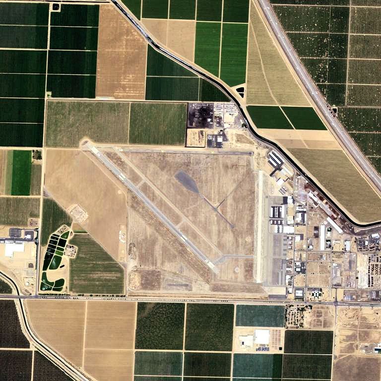
 |
By United States Geological Survey (USGS) - USGS via TopoQuesthttp://www.topoquest.com/map.php?lat=35.50750&lon=-119.19222&datum=nad83&zoom=4&map=sat1m&coord=d&mode=zoomin&size=l, Public Domain, https://commons.wikimedia.org/w/index.php?curid=172787 |
Airport Shafter Airport (KMIT) |
|
| 5811 |
6373 |
bali |
2018-05-25 21:03:14 |
 |
By United States Geological Survey (USGS) - USGS The National Map, via MSR Maps (formerly TerraServer-USA)http://msrmaps.com/map.aspx?t=1&s=10&lon=-94.889521&lat=36.901685&w=800&h=800, Public Domain, https://commons.wikimedia.org/w/index.php?curid=9 |
Airport Miami Municipal Airport (KMIO) |
|
| 5812 |
6372 |
bali |
2018-05-25 21:03:01 |
 |
By Michael Adams, CC BY-SA 4.0, https://commons.wikimedia.org/w/index.php?curid=54330330 |
Airport Crystal Airport (Minnesota) (KMIC) |
|
| 5813 |
6371 |
bali |
2018-05-25 21:02:53 |
 |
By Photo by Staff Sgt Jim Howard (U.S Air Force). - http://www.af.mil/shared/media/photodb/photos/990623-F-3588S-006.jpg, Public Domain, https://commons.wikimedia.org/w/index.php?curid=1635769 |
Airport Minot AFB (KMIB) |
|
| 5814 |
6370 |
bali |
2018-05-25 21:02:42 |
 |
By Ikluft - Own work, CC BY-SA 3.0, https://commons.wikimedia.org/w/index.php?curid=7796131 |
Airport Mojave Air and Space Port (KMHV) |
|
| 5815 |
6369 |
bali |
2018-05-25 21:02:33 |
 |
By United States Geological Survey (USGS) - USGS The National Map via MSR Maps (formerly TerraServer-USA), Public Domain, https://commons.wikimedia.org/w/index.php?curid=3783021 |
Airport Sacramento Mather Airport (KMHR) |
|
| 5816 |
6368 |
bali |
2018-05-25 21:02:23 |
 |
By United States Geological Survey (USGS) - USGS via TopoQuesthttp://www.topoquest.com/map.php?lat=43.77583&lon=-98.03806&datum=nad83&zoom=4&map=sat1m&coord=d&mode=zoomin&size=l, Public Domain, https://commons.wikimedia.org/w/index.php?curid=1955535 |
Airport Mitchell Municipal Airport (KMHE) |
|
| 5817 |
6367 |
bali |
2018-05-25 21:02:10 |
 |
By United States Geological Survey (USGS) - USGS The National Map, via MSR Maps: Image, Interactive map, Public Domain, https://commons.wikimedia.org/w/index.php?curid=17099944 |
Airport Morgantown Municipal Airport (KMGW) |
|
| 5818 |
6366 |
bali |
2018-05-25 21:01:59 |
 |
By US Geological Survey - http://www.topoquest.com/map.php?lat=31.085&lon=-83.803333&datum=nad83&zoom=4&map=sat1m, Public Domain, https://commons.wikimedia.org/w/index.php?curid=20289579 |
Airport Moultrie Municipal Airport (KMGR) |
|
| 5819 |
6365 |
bali |
2018-05-25 21:01:48 |
 |
By United States Geological Survey (USGS) - USGS The National Map, via MSR Maps (formerly TerraServer-USA)http://msrmaps.com/map.aspx?t=1&s=12&lon=-75.760833&lat=37.646667&w=800&h=800, Public Domain, https://commons.wikimedia.org/w/index.php?curid=9 |
Airport Accomack County Airport (KMFV) |
|
| 5820 |
6364 |
bali |
2018-05-25 21:01:33 |
 |
By United States Geological Survey (USGS) - USGS via GPS Visualizer websitehttp://www.gpsvisualizer.com/map_input?special=wikipedia&format=google&bg_map=usgs_aerial&sp_width=50km&form:data=type,name,latitude,longitude%0DW,%22Castle%20Air%20Force%20B |
Airport Castle Airport (KMER) |
|
| 5821 |
6363 |
bali |
2018-05-25 21:01:21 |
 |
By United States Geological Survey (USGS) - USGS The National Map, via MSR Maps (formerly TerraServer-USA), Public Domain, https://commons.wikimedia.org/w/index.php?curid=6596844 |
Airport Meridian Regional Airport (KMEI) |
|
| 5822 |
6362 |
bali |
2018-05-25 21:01:09 |
 |
By United States Department of Agriculture (USDA), Farm Services Agency - National Agriculture Imagery Program (NAIP) Orthoimagery for Zone 16 Alabama State Quarter Quadrangle HENSON SPRINGS, NE and I.D. # n_3408864_ne_16_1_20060627.tif, Public Doma |
Airport Madison County Executive Airport (KMDQ) |
|
| 5823 |
6361 |
bali |
2018-05-25 21:00:56 |
 |
By United States Geological Survey (USGS) - USGS via TopoQuesthttp://www.topoquest.com/map.php?lat=32.69285&lon=-83.64921&datum=nad83&zoom=4&map=sat1m&coord=d&mode=zoomin&size=l, Public Domain, https://commons.wikimedia.org/w/index.php?curid=1741164 |
Airport Middle Georgia Regional Airport (KMCN) |
|
| 5824 |
6360 |
bali |
2018-05-25 21:00:43 |
 |
By Unietd States Air Force - USAF McDill AFB http://www.macdill.af.mil/photos/mediagallery.asp?galleryID=1318, Public Domain, https://commons.wikimedia.org/w/index.php?curid=8543714 |
Airport MacDill Air Force Base (KMCF) |
|
| 5825 |
6359 |
bali |
2018-05-25 21:00:32 |
 |
By United States Department of Agriculture (USDA) - National Agriculture Imagery Program, published by the United States Geological Survey and accessed via TopoQuest. https://www.topoquest.com/map.php?lat=37.28472&lon=-120.51389&datum=nad83&zoom=2&m |
Airport Merced Regional Airport (KMCE) |
|
|
|
|
|
|
|
|
|
| # |
ID
|
Uploaded by
|
Uploaded on
|
Picture
|
Description
|
Related item(s)
|
|